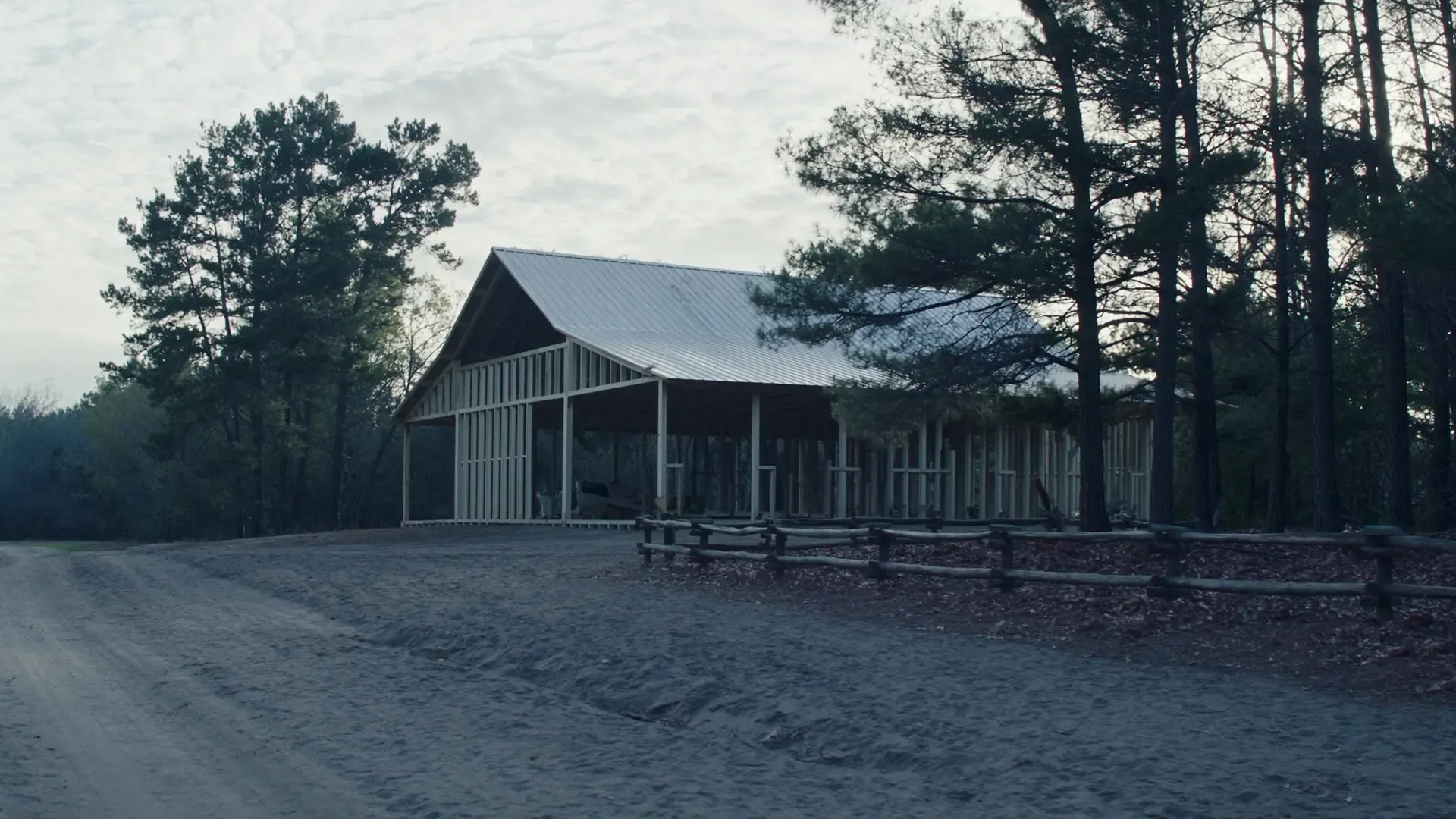
The 1979 soil survey says about 38,000 acres of the Lost Pines loblolly pine area is in Bastrop County, about 100 miles west of the East Texas pine belt. The Patilo-Demona-Silstid association, sandy surface layers on uplands, is about 32 percent of the county, and the survey names the sandy surface layer, permeability and a high water table as its urban limitations; Patilo soils are about 52 inches of loose fine sand over sandy clay loam with a perched water table at 48 to 72 inches after heavy rain. Source: USDA Soil Conservation Service, Soil Survey of Bastrop County, Texas (1979), woodland, general soil map and the Patilo series, read 2026-09-20.
The Axtell-Tabor association is about 29 percent of the county, deep loamy soils with a thin fine sandy loam surface over mottled clay and very slow permeability, with shrink-swell potential, corrosivity and permeability named as urban limitations; the Crockett-Wilson association, about 18 percent, and the Behring-Crockett-Heiden association, about 11 percent, carry the same three limitations. The survey says group A-7 clay soils have low strength when wet and are the poorest subgrade. Source: USDA Soil Conservation Service, Soil Survey of Bastrop County, Texas (1979), general soil map associations 2 to 4 and engineering uses of the soils, read 2026-09-20.
The Wilcox Group crops out across the western county in a belt nine to 15 miles wide and is the most important water-bearing unit, supplying all water for Bastrop and Elgin; the Patilo, Silstid and Demona soils formed in the Carrizo, Queen City and Sparta sands in the eastern county, and Heiden and Houston Black dominate the Kemp Clay outcrop. Source: USDA Soil Conservation Service, Soil Survey of Bastrop County, Texas (1979), parent material, read 2026-09-20.